After loading the dashpoints into c:geo, you can view them as in the following way.
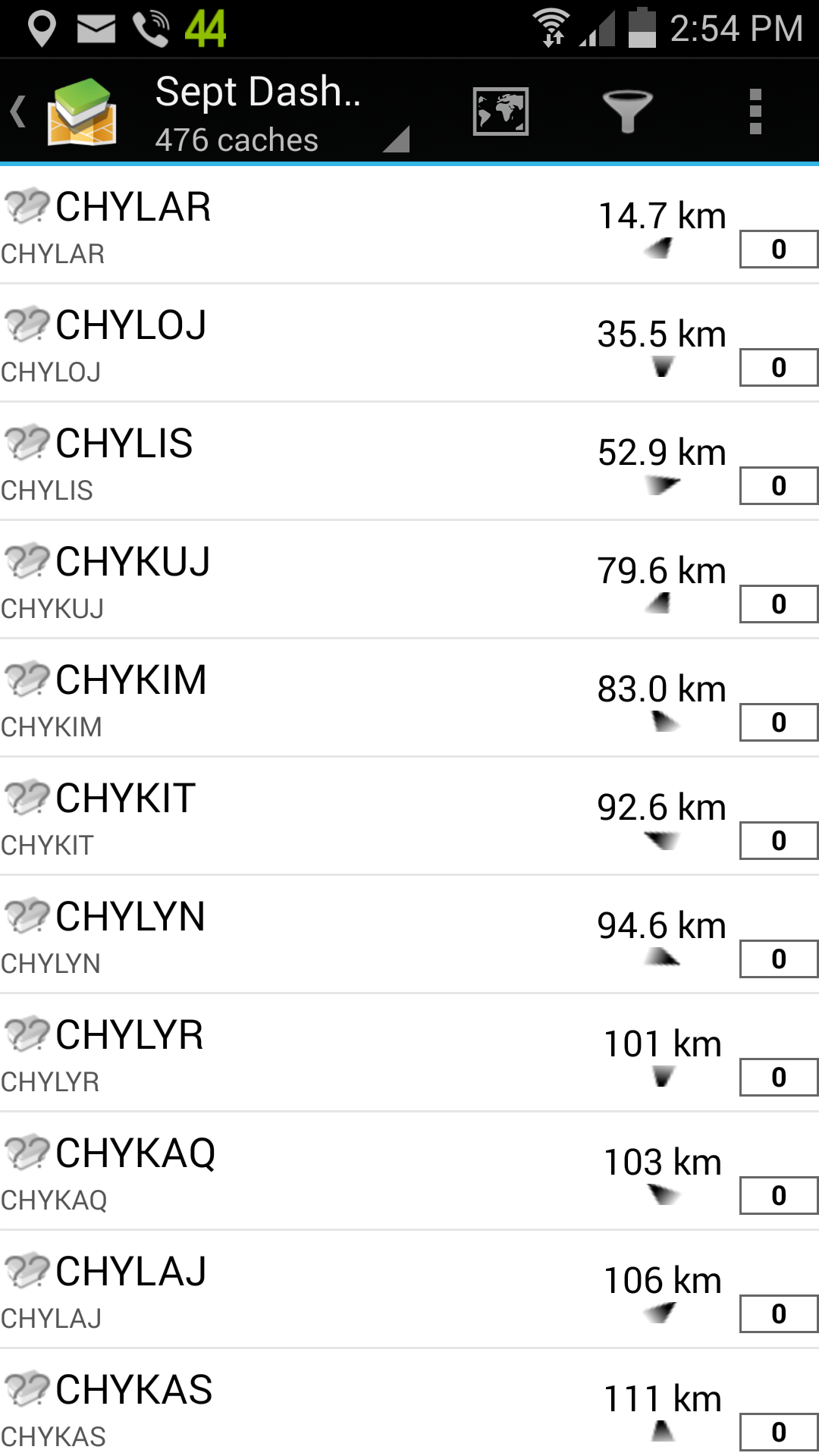
A list, automatically sorted by distance from your current location.
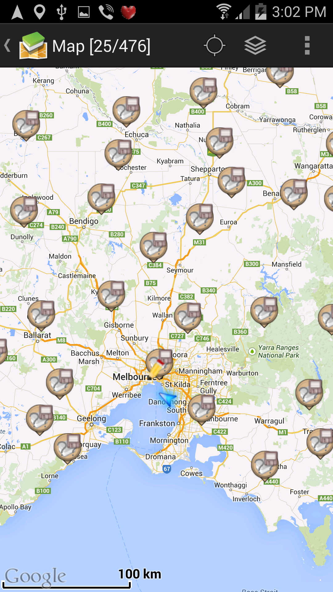
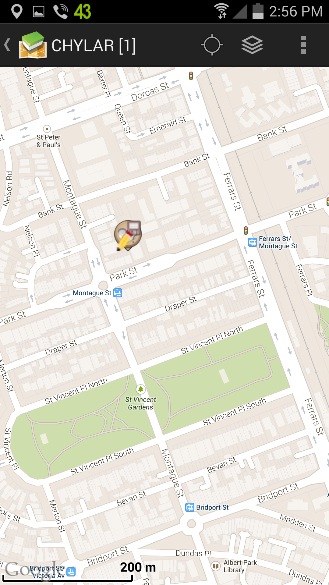
On a zoomable map, similar to the one avavailable on the dashpoint web site, showing neighbouring dashpoints.
You can zoom in on a particular dashpoint you've selected from the list.
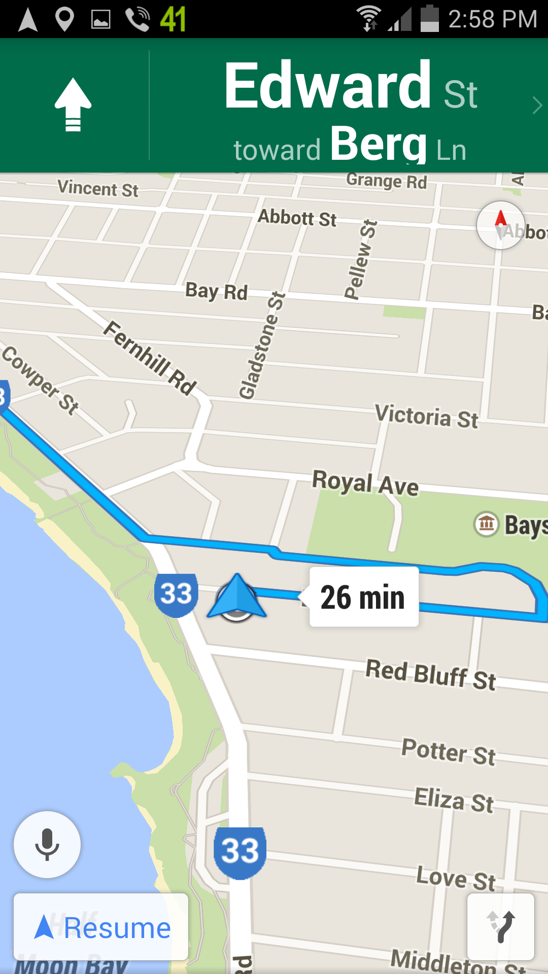
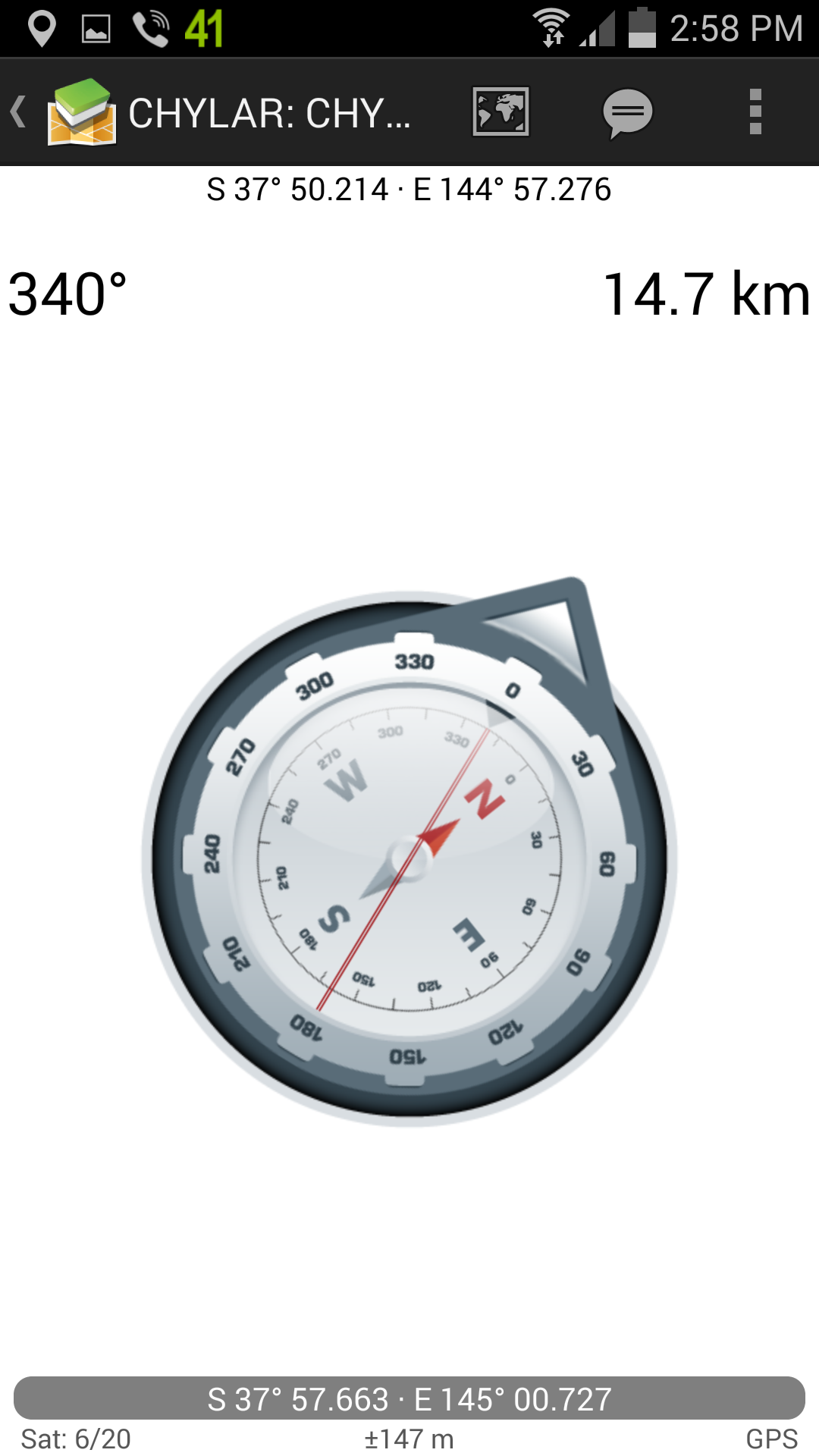
You can navigate to it using a Navigation Program or compass needle.